Mapping “Post-Conflict” Cities
Conference at the Leibniz Institute for Research on Society and Space (IRS) and online
20.–21. October 2022
Dates
| Registration | |
|---|---|
| ↳ online participation: | |
| ↳ on site participation: | |
| Notification of acceptance: | |
| Submission deadline: |
Registration
Please register for the conference by email, providing your name, institution or location as independent scholar. Please inform us, if you plan to come to the conference venue in person.
There are no fees to attend the conference.
Venue
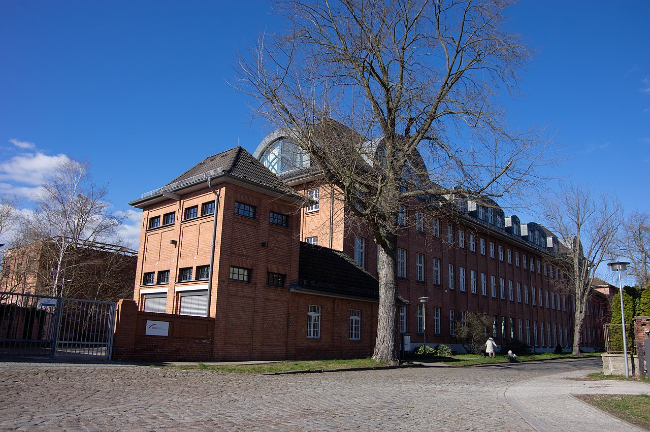
The conference takes place in the conference room of the Leibniz Institute for Research on Society and Space, Flakenstraße 29-31, 15537 Erkner, Germany.
You can participate by attending the conference in person in Erkner or online via Zoom.
Caveat: due to the COVID-19 pandemic, restrictions for entry into Germany from many countries apply.
Topics
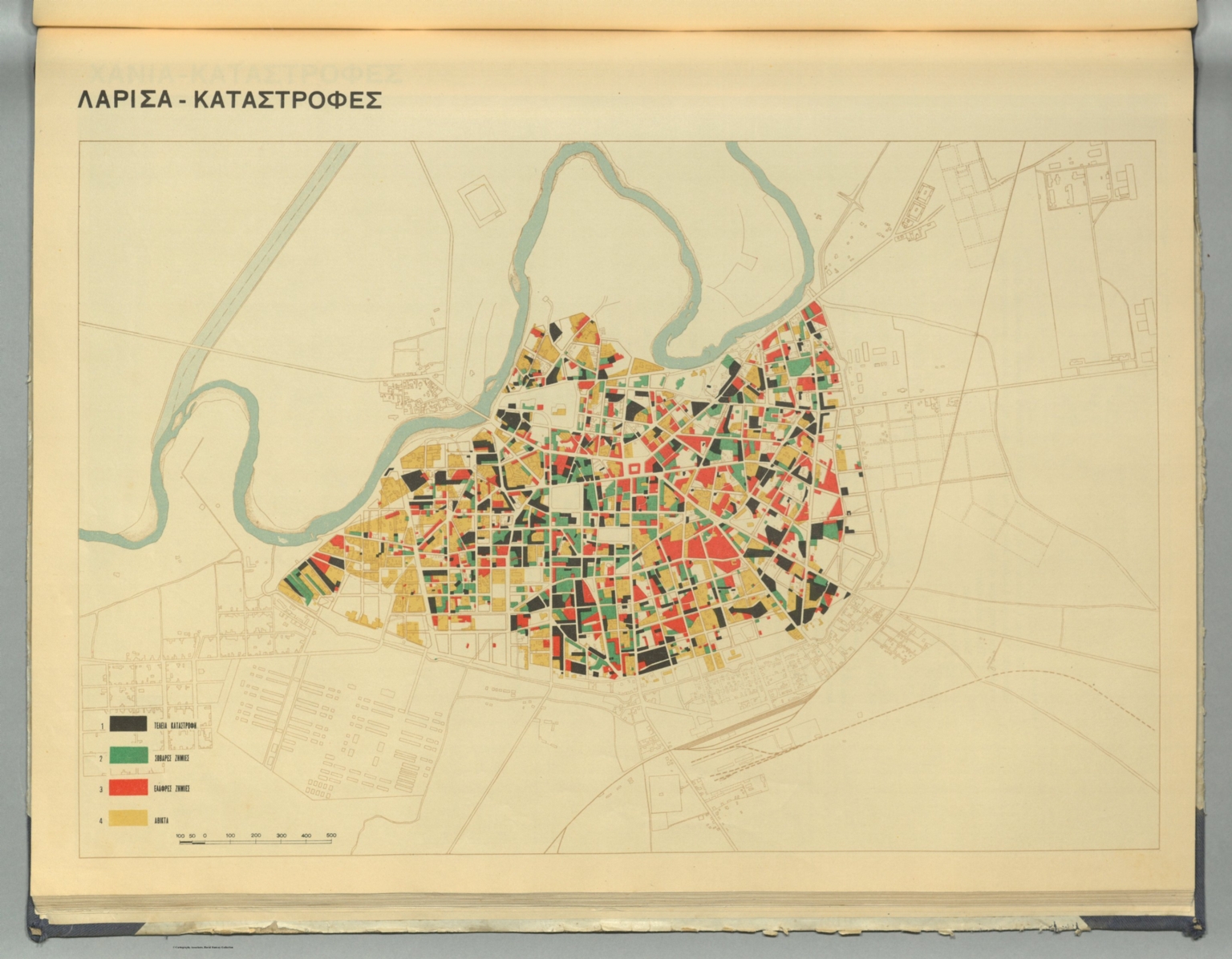
“Wars end… But when does the postwar era end?” asked Klaus Naumann (1999). One could also ask when does it begin and what does it precisely mean. Recent academic works have shown that the plans for post-war reconstruction can be traced back well before the first buildings were ever damaged, at least in some cases. Furthermore, the end of a conflict did not always mean the end of demolitions, the destruction of the urban fabric continued sometimes in peace times. Existing redevelopment plans were sometimes revisited. The exact nature of such continuities in situation of regime change needs further exploration. Equally important, different actors shaping visions of post-conflict cities and their connections should be analysed further. Finally, whereas the fate of capitals and other dominant cities have been studied in detailed, the secondary cities have received noticeably less scholarly attention.
Building on the knowledge gathered from academic literature as well as from the first UrbanMetaMapping conference “Cartographies of Catastrophes” in Bamberg (2021) this conference will examine mapping of “post-conflict” cities from the 19th century until the present day in different geographic settings. Firstly, we want to focus particularly on the question of continuities and ruptures relating to urban planning in those cases when end of conflict coincided with a change of socio-political regime. Secondly, we want to move away from the iconic cities, capitals in particular, and focus instead on less known case studies. We are therefore particularly interested in mapping of “peripheral” cities and their experience of “post-conflict” periods.
The hybrid conference is organized by the UrbanMetaMapping Research Consortium funded by the German Federal Ministry of Education and Research (BMBF) at the Leibniz Institute for Research on Society and Space (IRS), in collaboration with the Centre for Heritage Conservation Studies and Technologies (KDWT) in Bamberg.