War damage and destruction maps – Representations of cities, 1939–1945
A lecture by Dr. Carmen Enss at the Institute of History, Czech Academy of Sciences and online on March 22, 2023, 15⁰⁰
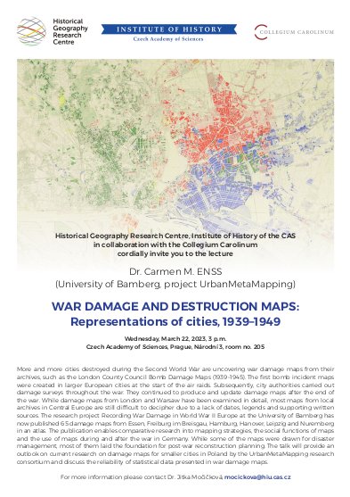
More and more cities destroyed during the Second World War are uncovering war damage maps from their archives, such as the London County Council Bomb Damage Maps (1939–1945). The first bomb incident maps were created in larger European cities at the start of the air raids. Subsequently, city authorities carried out damage surveys throughout the war. They continued to produce and update damage maps after the end of the war.
While damage maps from London and Warsaw have been examined in detail, most maps from local archives in Central Europe are still difficult to decipher due to a lack of dates, legends and supporting written sources. The research project Recording War Damage in World War II Europe at the University of Bamberg has now published 65 damage maps from Essen, Freiburg im Breisgau, Hamburg, Hanover, Leipzig and Nuremberg in an atlas. The publication enables comparative research into mapping strategies, the social functions of maps and the use of maps during and after the war in Germany. While some of the maps were drawn for disaster management, most of them laid the foundation for post-war reconstruction planning.
Dr. Carmen Enss provides an outlook on current research on damage maps for smaller cities in Poland by the UrbanMetaMapping research consortium and discusses the reliability of statistical data presented in war damage maps
at the Institute of History, Czech Academy of Sciences, room 205, Národní 3, Prague 1
on March 22, 2023, 15⁰⁰.
The lecture will be in hybrid format, for online access please contact Dr. Jitka Močičková (mocickova@hiu.cas.cz).