FOSSGIS 2024
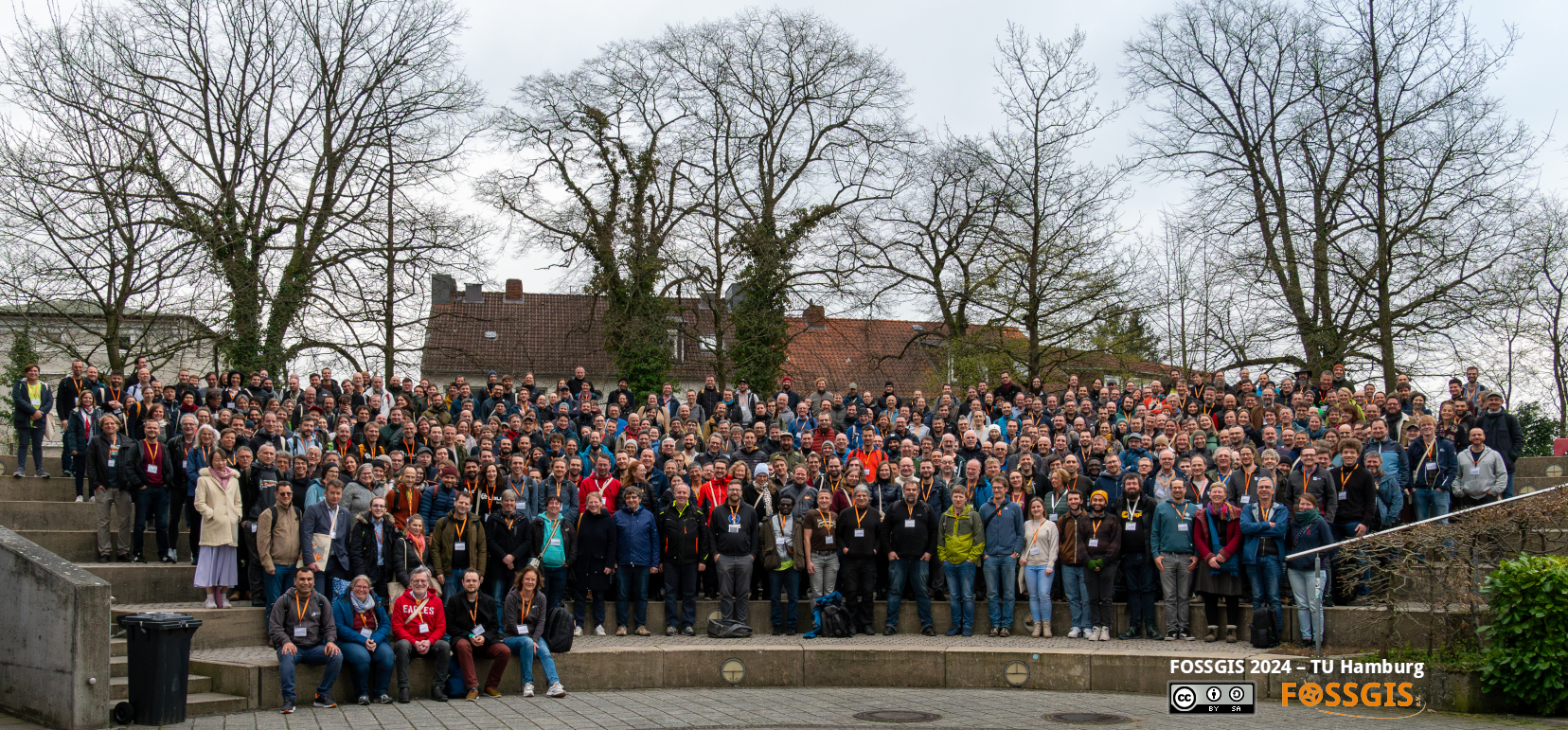
Two weeks ago Anas and Klaus went to Hamburg to meet around 600 people interested in open source, geographic information systems (GIS) and OpenStreetMap at the FOSSGIS 2024, and give a talk about our GIS work on WW II Nürnberg.
FOSSGIS e. V. is a German non-profit organization and the official local chapter for the OpenStreetMap project and the OSGeo foundation.
The yearly (German speaking) FOSSGIS conferences are a meeting point for all kinds of people interested in free and open source geo information systems, open (geo-)data, open source and OpenStreetMap with an OSM unconference on Saturday. So we met open source developers and consultants, geographers and cartographers, OSM mappers, researchers, geodata experts from public organizations, geodata companies, open source and open data activists and students showing their work in a special track.
Oh, and the catering was good and varied, too.
Nearly all FOSSIGIS conference talks are recorded and available online on the CCC media server (also linked from the program). We (will) use this to see some of the talks we missed from the broad range of topics from remote geodata servers, climate research, indoor navigation, tools, addon programming, public geodata, archeology, procedural art, …
During the presentation the audience (on site and online) could ask their questions by chat (and others could vote on them) so the most requested ones were answered first which worked fairly well.
On a panel discussion about sustainable procurement with an eye on open source we learned about how to bring open source solutions into the government, what the problems are, and how open source can improve sustainibility in various ways.
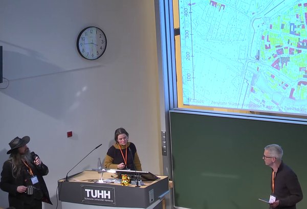
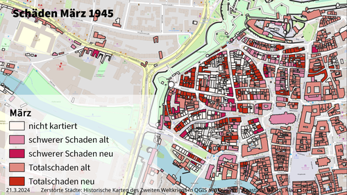
We are happy our talk „Zerstörte Städte: Historische Karten des Zweiten Weltkriegs in QGIS analysieren“ not only gained some audience but also lots of questions and discussions. There is interest in how to apply GIS to history research (in our case: historic maps), and we learned that we are on the right path. Our talk focussed on the GIS/technical side of our approach, we will present the results of our research at SpatHum 2024.
FOSSGIS 2024 was fun and interesting, we will attend the next one too!